


Description
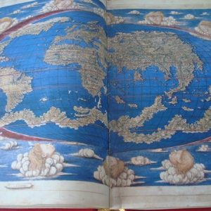
Carta navigatoria portugallen, navigationes atque tocius cogniti orbis terre marisque form naturanque situs et terminos nostris temporibus recagnitos et ab antiquorum traditione differentes.
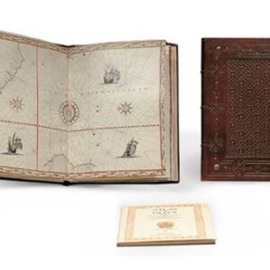
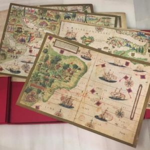
Facsimile edition made in Madrid, Carlos Sanz (gr. Yagues), 1953. Large format: 233 x 128 cm. Color facsimile (scrim), lithographic printing. From the marine chart made in Saint Dié des Vosges, France, in 1516 by Martin Waldseemüller (1470-1520), engraved in woodcut and printed on twelve separate sheets, in order to form with them a large mural nautical chart.
The 12 sheets are assembled and glued to a linen cloth, ready to be framed to form a large mural. It is delivered rolled up in a single body.
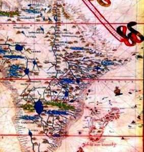
Waldseemüller essentially started from scratch in the creation of his “marine chart” and abandons the techniques of Ptolemy; designs a world map based on nautical charts, emphasizing the coastline and showing a system of loxodromic lines that were used in navigation as a reference to read and mark directions between places.
It is “a nautical chart that comprehensively shows the Portuguese voyages and the shape of the entire known world, its regions and limits as determined in our times, and how they differ from the tradition of the Ancients, and also areas not mentioned by the ancients. ”
It is believed to be the world’s first printed nautical chart.
In good condition and excellent for a large mural. It is delivered rolled.
Shipping costs paid by the buyer, according to order and destination. Ask us without obligation (indicating the reference of the article) any doubt.