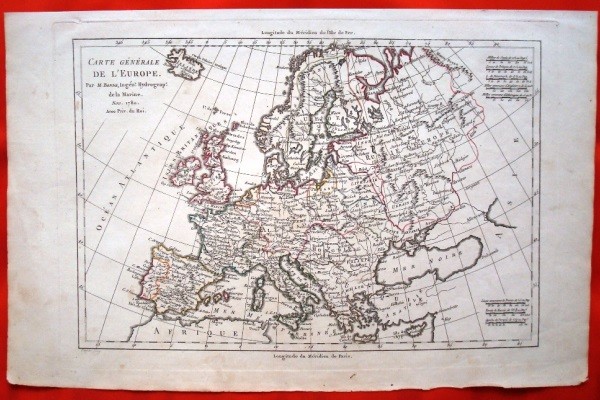
Description
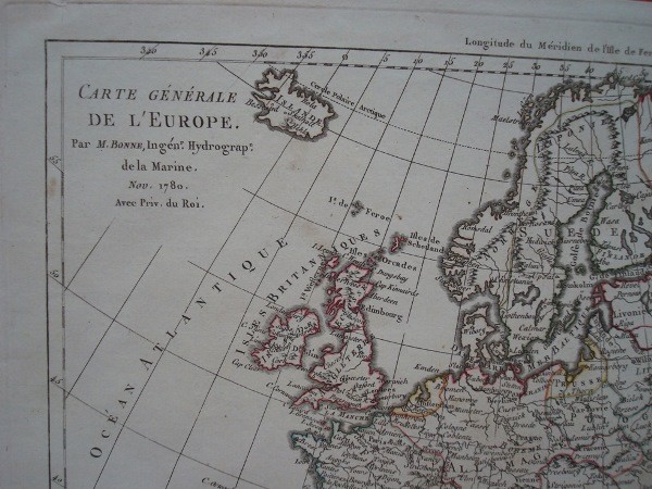
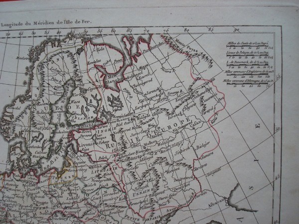
Carte Generale de L’Europe. 1780 Map of Europe by Rigobert Bonne (1727-1795). French language. Some engraved map hand colored borders. Original 1780.
Paper Size: 41 x 26 cm. Iron: 32.2 x 21.4 cm. Laid paper with traces of the passage of time and use stains on paper, out of print, but generally in very good condition, without folds or wrinkles, very well preserved.
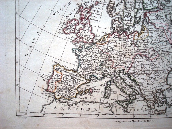
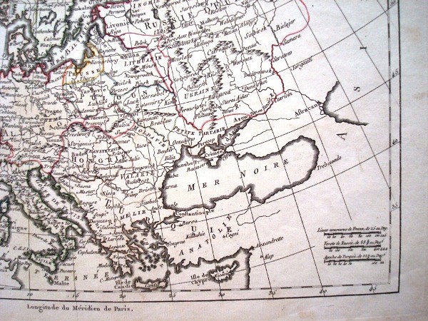
Marked topographic details and cities. Rare map of Europe, including European Russia, Iceland and Eastern Europe.
Rigobert Bonne was one of the most important cartographers of the eighteenth century. In 1773 he succeeded Jacques Bellin as Royal Cartographer to France in the office of the Hydrographer of the Navy. In his official work, Bonne compiled some of the most detailed and accurate maps of the period. His work represented an important step in the evolution of cartography maps distancing decorative seventeenth and early eighteenth century to a more detailed and practical guidance. Bonne’s work is highly regarded for its detail, the historical importance and beauty in general.
Bonne maps on the market in Europe extracted from his “Atlas of Connues Toutes les parties du Globe Earth …” 1780, No. 3 in the list of maps and colored differently. The map offered here does not belong to this work, this being an independent and rare example in mapping Bonne.
Shipping by the buyer, upon request and destination. Ask us any questions.