Description
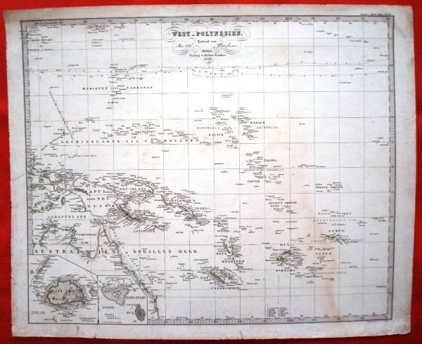
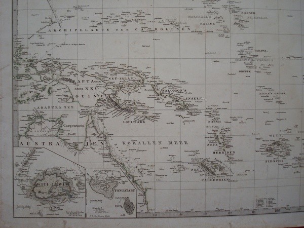
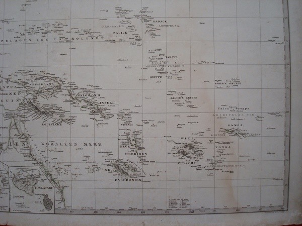
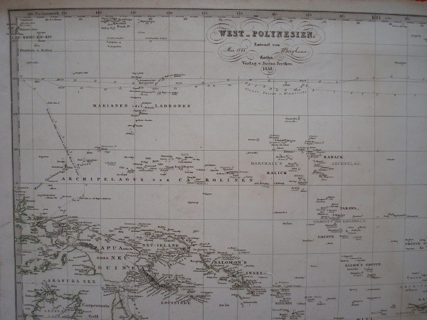
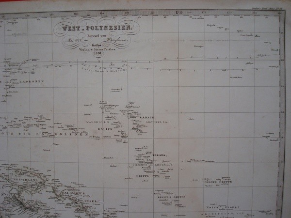
West-Polynesien. 1848. Stieler’s Hand-Atlas 51. Hand-colored engraving made in Gotha (Germany) by Justus Perthes. German language. 1858 Original on the work of 1848.
Measures of paper, large format: 45.5 x 37 cm. Iron: 41 x 34 cm. Colored coastal areas. Unlined paper without bending, with signs of aging, dirt and stains use, especially at the edges. Yet plant has good reading and all its cartographic details.
Hermann Berghaus (1828-1890) was a German cartographer renowned in his time and associated with the cartographic work of Stieler’s Hand-Atlas, the leading German global atlas until mid-twentieth century. For most of his life he was cartographer of the Geographical Institute of Justus Perthes in Gotha. He co-directed the sixth, seventh and eighth editions of Stieler’s Hand-Atlas (Atlas of Stieler).
This map corresponds to the number 51 of Stieler’s Hand-Atlas of the fourth edition (1862-1864) of 84 maps. After the death of Adolf Stieler, the work was known as the “Hand-Atlas uber alle Theile der Erde und uber das Weltgebäude” (Practical Atlas of all parts of the world and the universe), and was the leader Atlas German world in the last three decades of the nineteenth century and early twentieth. Published by the workshop Justus Perthes of Gotha (established since 1785) went through ten editions from 1816 to 1944. 432 original copper plates are conserved.
Shipping by the buyer, upon request and destination. Ask us any questions and for what you are looking for.