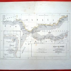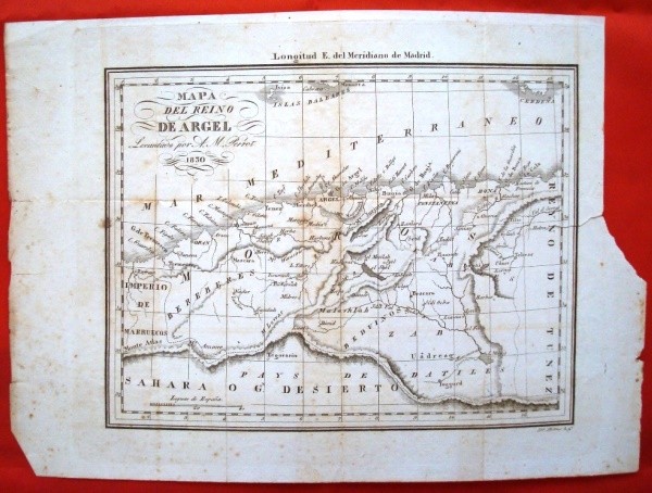
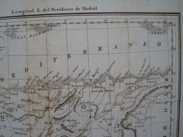
Description
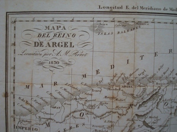
Map of the kingdom of Algiers, African coast, cartographic 1830. Recorded by French geographer AM Perrot in 1830 the kingdom of Algiers and its African coast. Spanish Language. Original 1830.
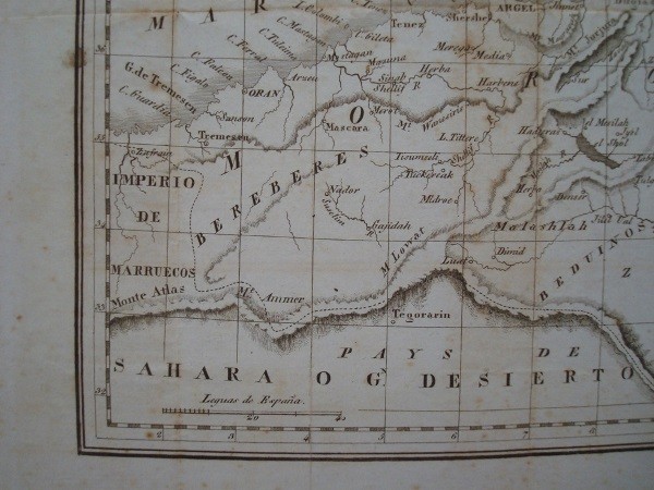
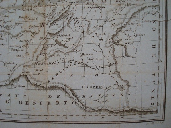
Paper Size: 30.5 x 21.5 cm. Iron: 22.2 x 17 cm. Thin paper with traces of aging and stains on paper, but without wrinkles folds brands. Also present on the right side a cut on paper, it does not affect the recorded, and a small slit that is introduced into the engraving 17 mm. Yet plant has good reading and all its cartographic details.
Aristide Michel Perrot (1793-1879) was a geographer, French mathematician and cartographer who produced numerous works on subjects English and French and locations including the African Campaign. Works in Spanish are very poorly known.
Shipping by the buyer, upon request and destination. Consult any doubt, and by the article you are looking for.