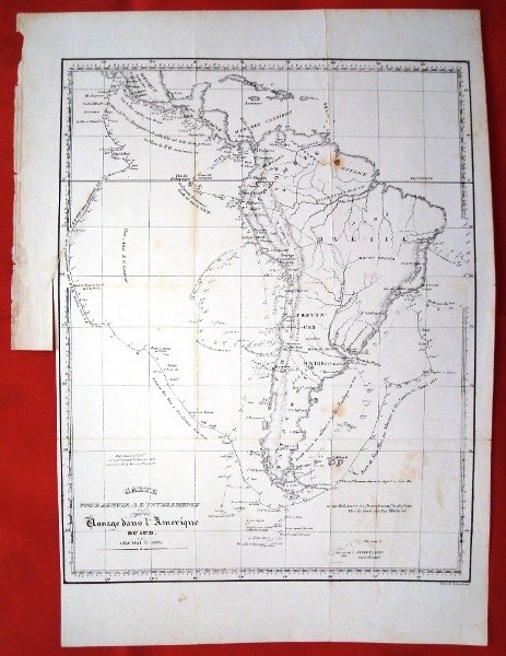
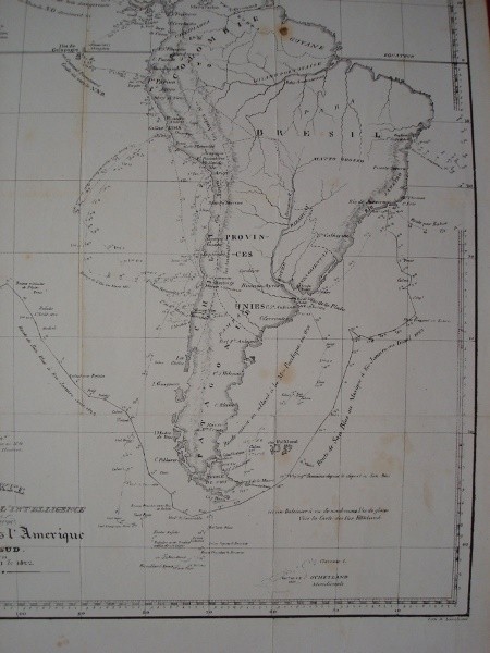
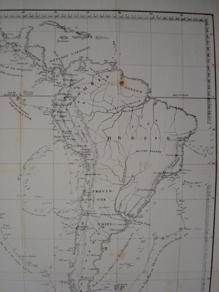
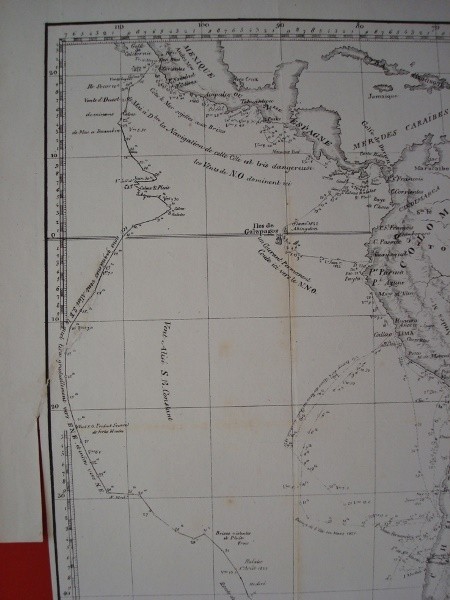
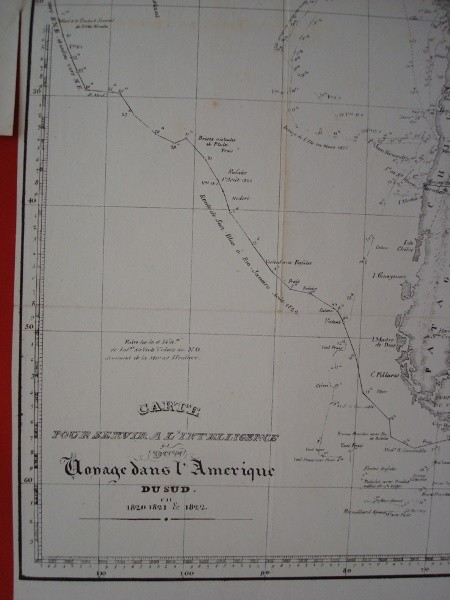
Description
Carte pour l’intelligence serve dun voyage dans l’Amerique du sud. in 1820, 1821 & 1822 Map of South America with the description of sea routes and important data for trips that geographical area. French language. Original 1822.
You can see another example of this map in the National Library of France by clicking here.
Paper Size: 28.5 x 38.8 cm. Iron: 24.7 x 31.5 cm. Paper with traces of the passage of time and use stains, wrinkle but folds brands. Also present at the left margin cut on paper, it does not affect the recorded, and a small slit that is introduced into the engraving 45 mm, glued at the time. Yet plant has good reading and all its cartographic details.
Shipping by the buyer, upon request and destination. Consult any doubt, and by the article you are looking for.